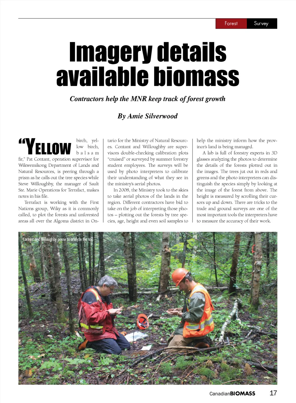
Forest Survey Imagery details available biomass Contractors help the MNR keep track of forest growth By Amie Silverwood “y ellow birch, yel-low birch, balsam fir,” Pat Contant, operation supervisor for Wikwemikong Department of Lands and Natural Resources, is peering through a prism as he calls out the tree species while Steve Willoughby, the manager of Sault Ste. Marie Operations for Terrafact, makes notes in his file. Terrafact is working with the First Nations group, Wiky as it is commonly called, to plot the forests and unforested areas all over the Algoma district in On-tario for the Ministry of Natural Resourc-es. Contant and Willoughby are super-visors double-checking calibration plots “cruised” or surveyed by summer forestry student employees. The surveys will be used by photo interpreters to calibrate their understanding of what they see in the ministry’s aerial photos. In 2008, the Ministry took to the skies to take aerial photos of the lands in the region. Different contractors have bid to take on the job of interpreting those pho-tos – plotting out the forests by tree spe-cies, age, height and even soil samples to help the ministry inform how the prov-ince’s land is being managed. A lab is full of forestry experts in 3D glasses analyzing the photos to determine the details of the forests plotted out in the images. The trees jut out in reds and greens and the photo interpreters can dis-tinguish the species simply by looking at the image of the forest from above. The height is measured by scrolling their cur-sors up and down. There are tricks to the trade and ground surveys are one of the most important tools the interpreters have to measure the accuracy of their work. Contant and Willoughby pause to analyze the soil. Canadian BIOMASS 17
Canadian Biomass November - December 2014: Page 17